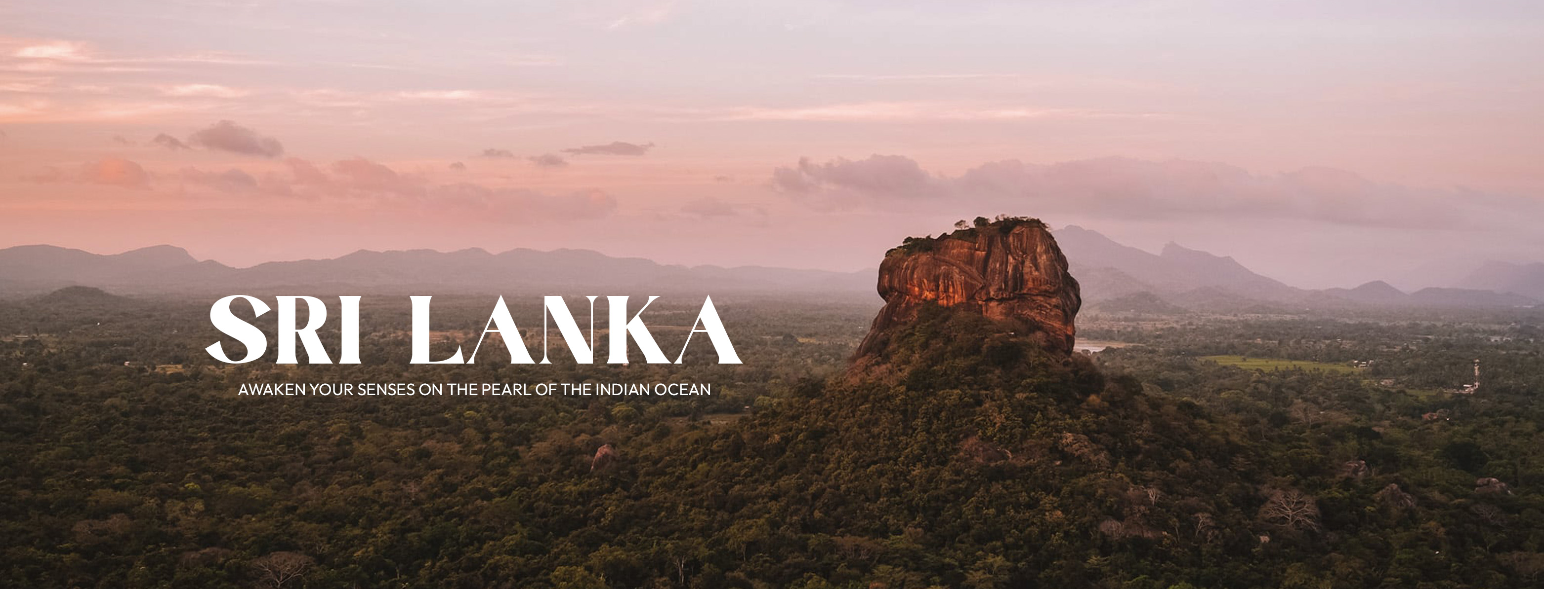
Mannar District
Mannar district which belongs to the Northern Province of Sri Lanka consists of an area that is part of the mainland and Mannar island – the largest islet in the country. The road to Mannar is through the dry zone of Sri Lanka. The landscape in Mannar district varies from wooded jungles to paddy fields and swaying palm trees.
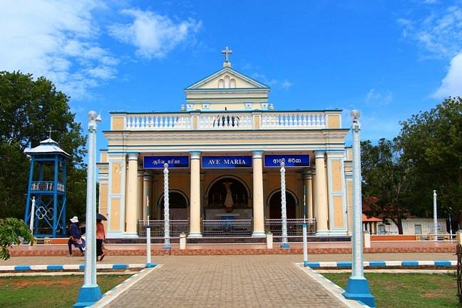
Mannar Island
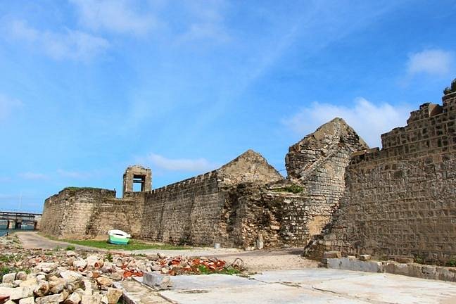
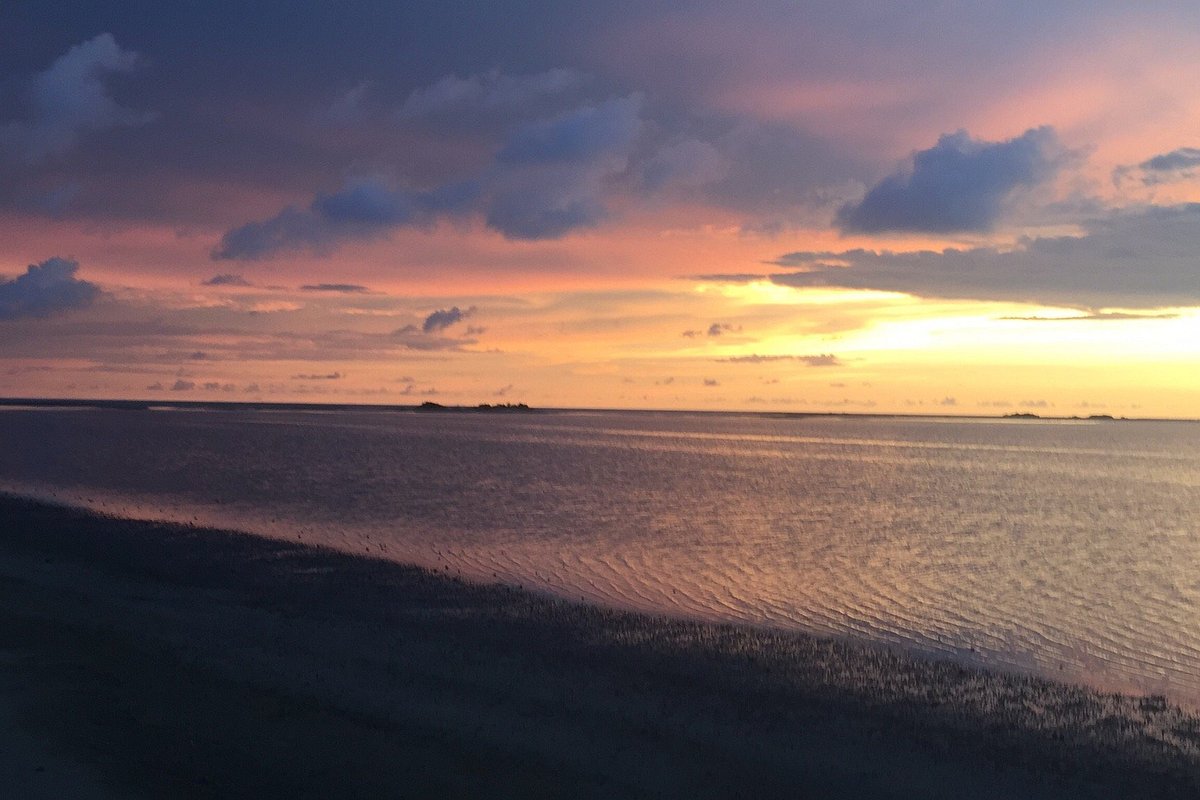
Mannar Island is a dry and barren peninsula located in the district of Mannar. Though called an islet, it is in fact a peninsula formed in the shape of a tongue. Talaimannar, the westernmost tip of the island, is almost connected to the Dhanuskodi, the easternmost tip of the peninsula of Southern India by a reef of corals submerged in the Palk Straits.
Apart from the thin strip of land that joins the peninsula to the mainland, Mannar Island is also connected by the causeway over the shallow waters forming a 3 km stretch of the A14 Madawachchiya –Talaimannar main road. The small fishing port of Mannar is located on the south-eastern shore of the islet.
Mannar Island has been referred historically by names such as “Manthei”, “Mathota”, Mahathiththa”, “Mahaputu” and “Mawatuthota”
No posts available for Mannar District.
No posts available for Mannar district.
No categories available for Mannar District.

Stay connected with the latest travel tips, destination guides, and exclusive offers by subscribing to our newsletter. Join our community and be the first to discover exciting adventures across Sri Lanka. Don’t miss out—subscribe now and let us inspire your next journey!